The proposed paths are designed to spend a day in some of my favourite places in Mount Etna. They are prepared to enjoy the journey with the silence and the attention that a visit to the highest active volcano in Europe deserves. The trails can be adapted according to your needs and interests. Whenever possible, I will propose to merge nature with the exploration of nearby villages.
Monte Nero and Timpa Rossa
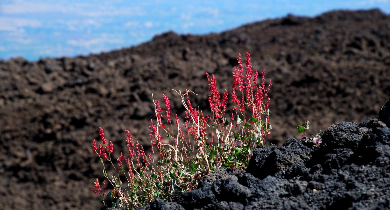
This path will lead us to discover the Northeast side of Mount Etna, the less explored. It is one of my favourites for its variety and because you can still walk in peace and quietness. We meet in Linguaglossa for coffee and then we move to Piano Provenzana (1800 m), where we will begin to walk down a path that was partially covered by lava in the 2002 eruption. We walk towards the area of the eruption through a path where we can observe the layering of lava flows up to the 1923 fracture. There we will find some volcanic bombs and indigeneous flowers. The landscape changes completely when we pass through a beech forest, where we will stop. We go back using a different path, so as to explore other aspects of the park. We end the day at a gelateria or having a glass wine at a nearby vineyard.
Between lava flows and beech forest: the eruption of 1981 and Monte Spagnolo
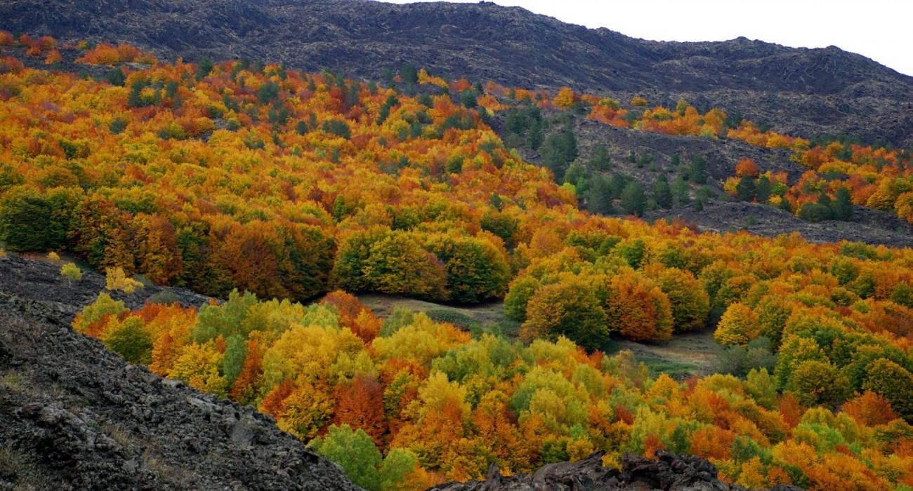
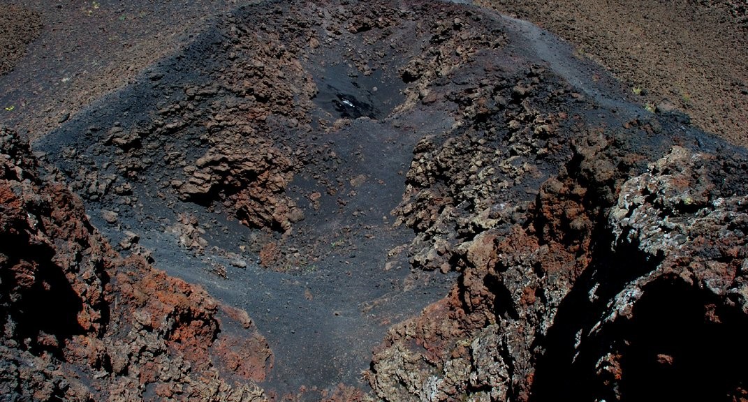
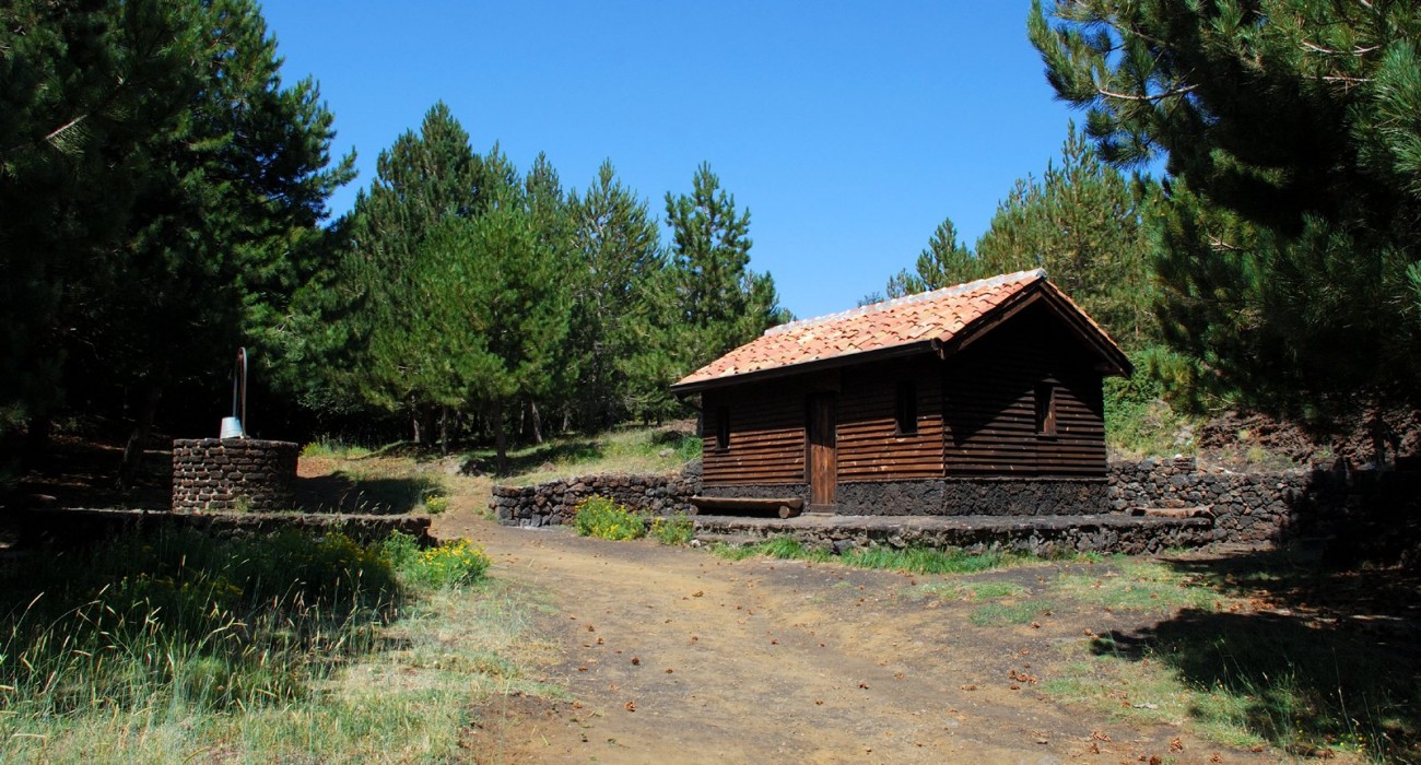
The objective of this itinerary is to reach the lava flow of 1981, walking along a forest track, which alternates the shadow and the silence of the forest with a view of the long lava flow that extends up the valley of the river Alcantara. Through a centuries-old beech forest, considered one of the greatest natural jewels present in the Etna Park, we arrive near the shelter of Monte Spagnolo. On the way we will find “hornitos” (welded cinder cones) and the remains of charred trees. The descent to the Cisternazza, ancient cistern used to collect rainwater, will allow us to return to the starting point, from which we proceed to the nearby medieval town of Randazzo to taste some wine in an old vineyard and enjoy the view of the Etna and the Alcantara river.
Serracozzo lava tube, Valle del Bove and fissure of the 1928 eruption
Getting into a lava tube can be a memorable experience. In fact, lying below the lava soil creates the feeling of coming into contact with the centre of the earth. The tunnel is formed due to the cooling of the lava flowing into the duct and its drainage and erosion mottle its walls. We will illuminate the path with lanterns in order to appreciate the details. Reaching the Valle del Bove, an ancient depression formed 9,000 years ago, will take us back to the time when a massive volcano dominated the whole area. Observing the formation of the fracture from which the lava came out in 1928 will complete the experience and will close the itinerary.
Monti Sartorius and Piano Provenzana
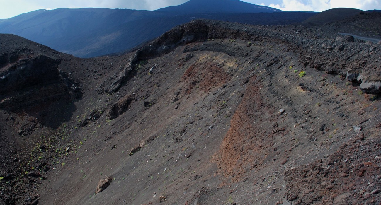
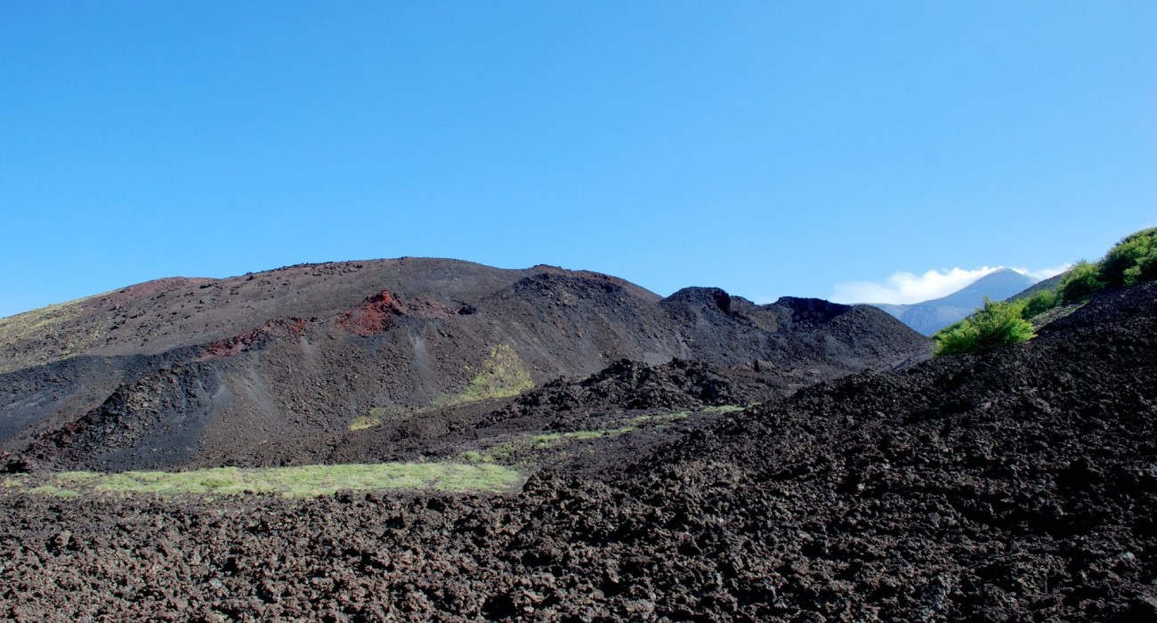
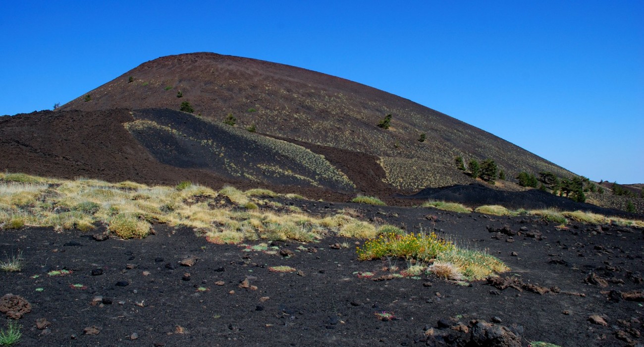
The “bottoniera” of Monti Sartorius, a series of small volcanic cones opened from a fracture, can be explored through some trails from which it is possible to see the north face of Etna, the Ionian coast and the area affected by the eruption of 2002. This trail will be especially appreciated by those passionate about plants, and it is characterized by the presence of birch and pine trees, intense green bushes and native flowers. The path will take us through the “Quarantore”, a seasonal stream that culminates in Piano Provenzana.
The Lava of the 1928 eruption
This path is of interest for historical reasons and also from a volcanological point of view. On November 4,1928, a lava flow reached the gates of the town of Mascali through the torrent Pietrafucile, leaving a trail that can still be seen. We will walk in the shade of an oak forest passing by typical houses built with lava stone and approach a fracture over where we may glimpse and imagine the power of that eruption, which gave origin to seven different lava flows. The seven rivers converged in a single lava flow that destroyed everything in its way. The area where the fracture occurred is now an area planted with hazelnuts and apples, typical products of the area. We will end the day visiting some of the historical places in the area that remained intact.
